
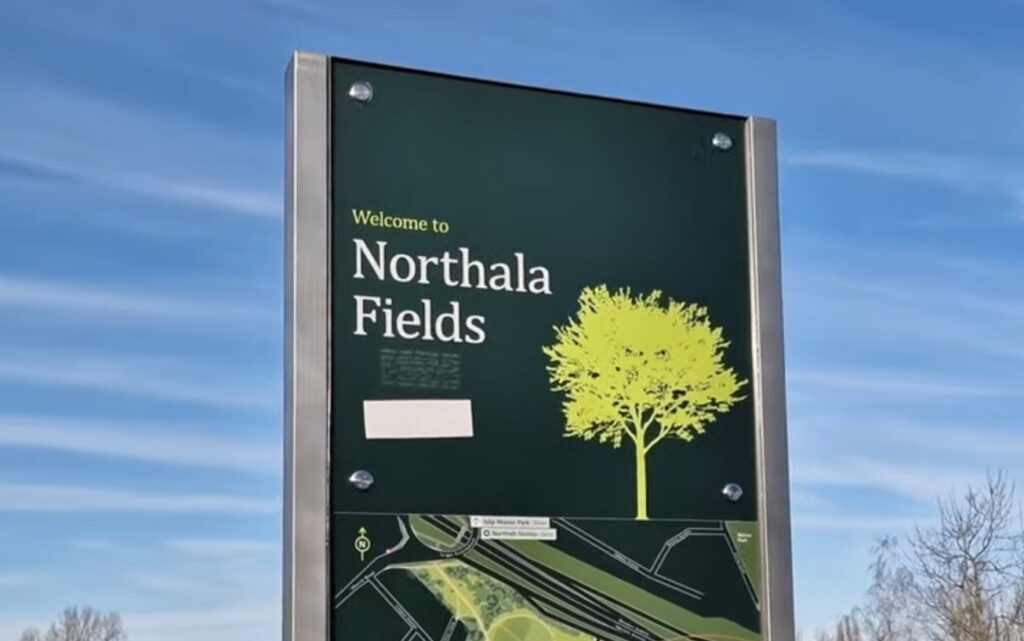
It was a really nice sunny day when I came back to Northala Fields. I had not been here for a long time, and I had forgotten how much there is to do once you get past the hills.
Most London parks are flat. This one is built around four man-made hills, and almost everything about a visit here is shaped by whether you climb them or not. So this guide is arranged by height, from the ground up to the beacon at the top and back down again.
These Hills Are Made From the Old Wembley Stadium
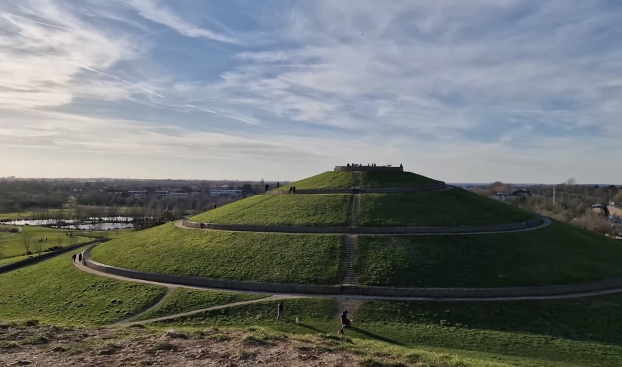
The four cones next to the A40 are not natural. They were built from rubble left over when the original Wembley Stadium was demolished, along with spoil from the construction of the Westfield centre at White City.
The idea came from landscape architect Peter Fink and LDA Design. Instead of sending the rubble to landfill, and instead of building a concrete noise barrier along the A40, the rubble became the barrier. The hills block the traffic noise, and the park behind them is quiet.
The information board at the entrance fills in the rest: the land was once playing fields belonging to the Royal Borough of Kensington and Chelsea, Ealing Council bought it in 1997, and the park opened in 2008 after four years of work, built with 95% sustainable materials.
Arriving, and the Tunnel
I came by bus, and it is a short walk from the stop to the park. You go through a little tunnel under the road, and then the open ground and the hills appear in front of you all at once. It is a good way to arrive, because you get no preview at all until you are through.
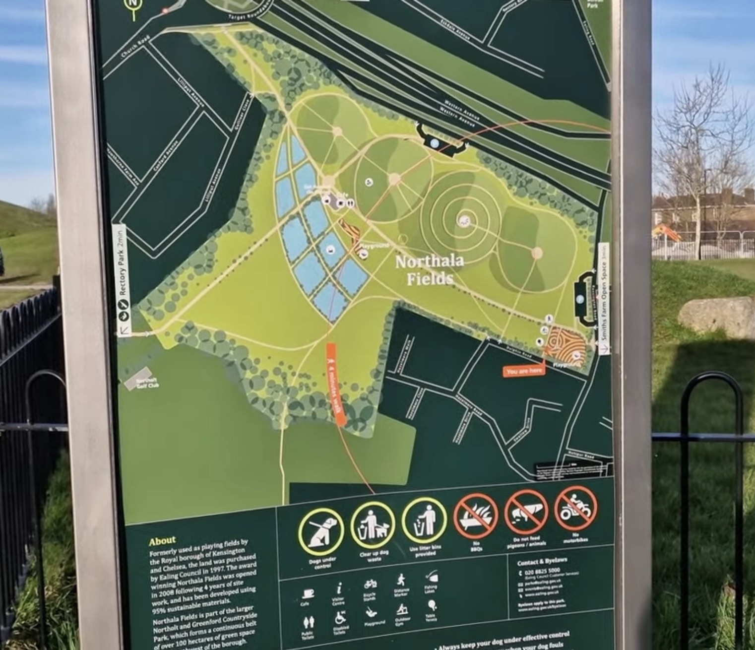
Stop at the map board before you set off. It shows where the ponds, the café, the playgrounds and the toilets are, and it saves you walking the wrong way across a very large site.
The Ponds and the Little Boats
There are several ponds spread around the park, and I found children out on the water with little boats. It is a nice area to walk slowly, especially in good weather, and the water changes the feel of the place completely from the open grass.
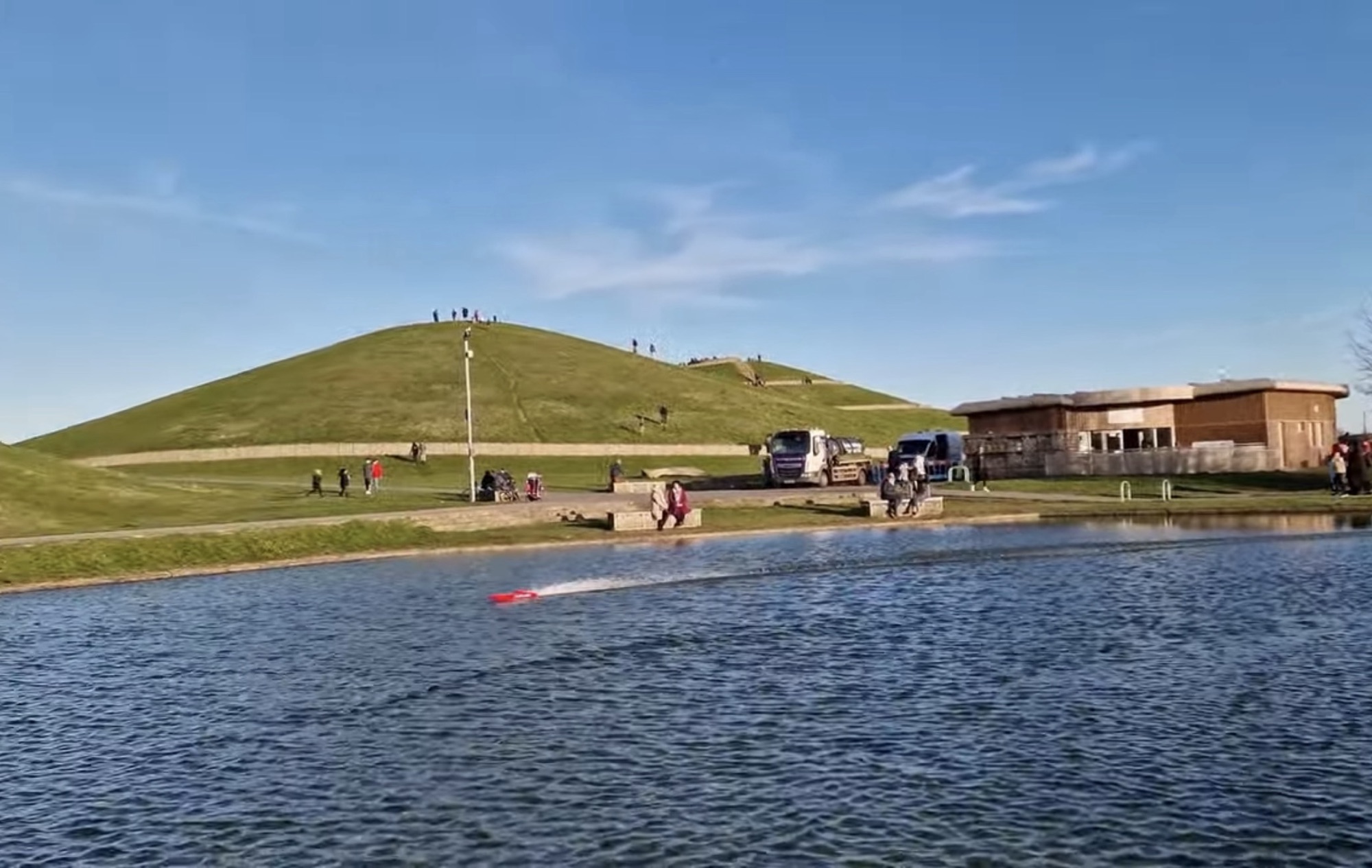
The visitor centre sits right on the water with the café and toilets inside, so this is the natural place to start or finish.
Log Sculptures at the Bottom of the Slope
At the foot of the biggest mound there are carved wooden logs lying in the grass, and a long stone gabion wall running along the hillside. Worth two minutes before you start climbing.
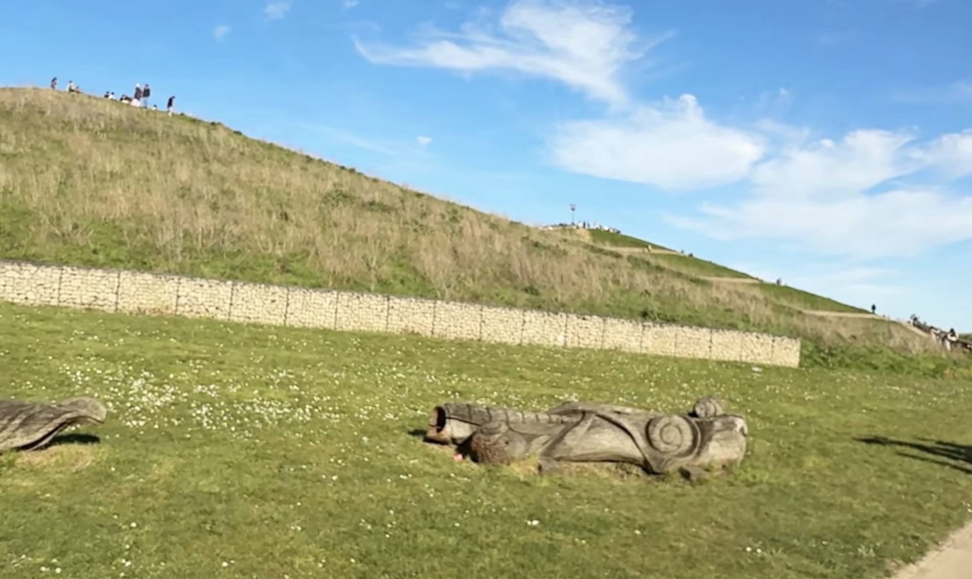
Walking Up: the Spiral or the Steps
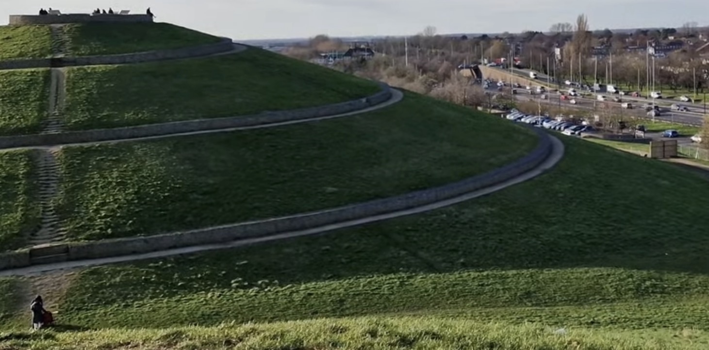
Then I decided to go up. The climb was a little tiring, but the views get better the higher you go, and there are good places to stop and take photos on the way.
There are two ways up. A spiral path wraps around the mound at an easy gradient, which is the one to take with a buggy or if you would rather not push. Or there is a direct line of steps straight up the face, which is much quicker and much harder.
The Top, and the Beacon
Finally I reached the top. The view was beautiful, with the hills and open country stretching out in front of me. I stayed up there a while, took photos and just enjoyed it.
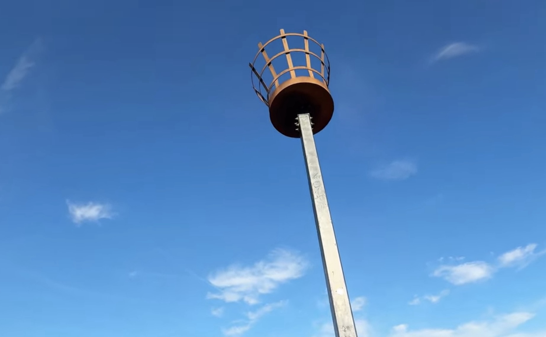
There is a beacon on a tall post at the summit, the kind lit for national occasions. From below it is just a dot on the skyline. Up close it is the thing everyone photographs.
What You Can Actually See From the Top
This is the part I like most about Northala. Around the summit there are labelled viewpoint panels put up by Ealing Council, naming every landmark on the horizon in each direction. You do not have to guess what you are looking at.
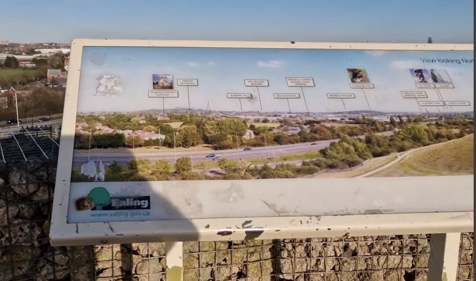
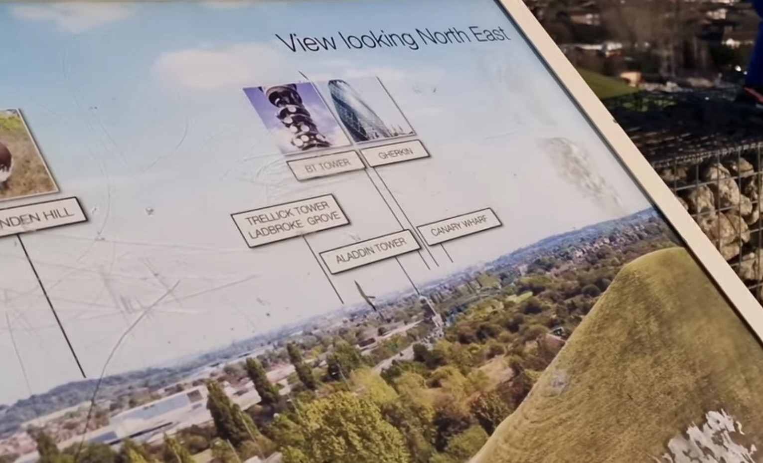
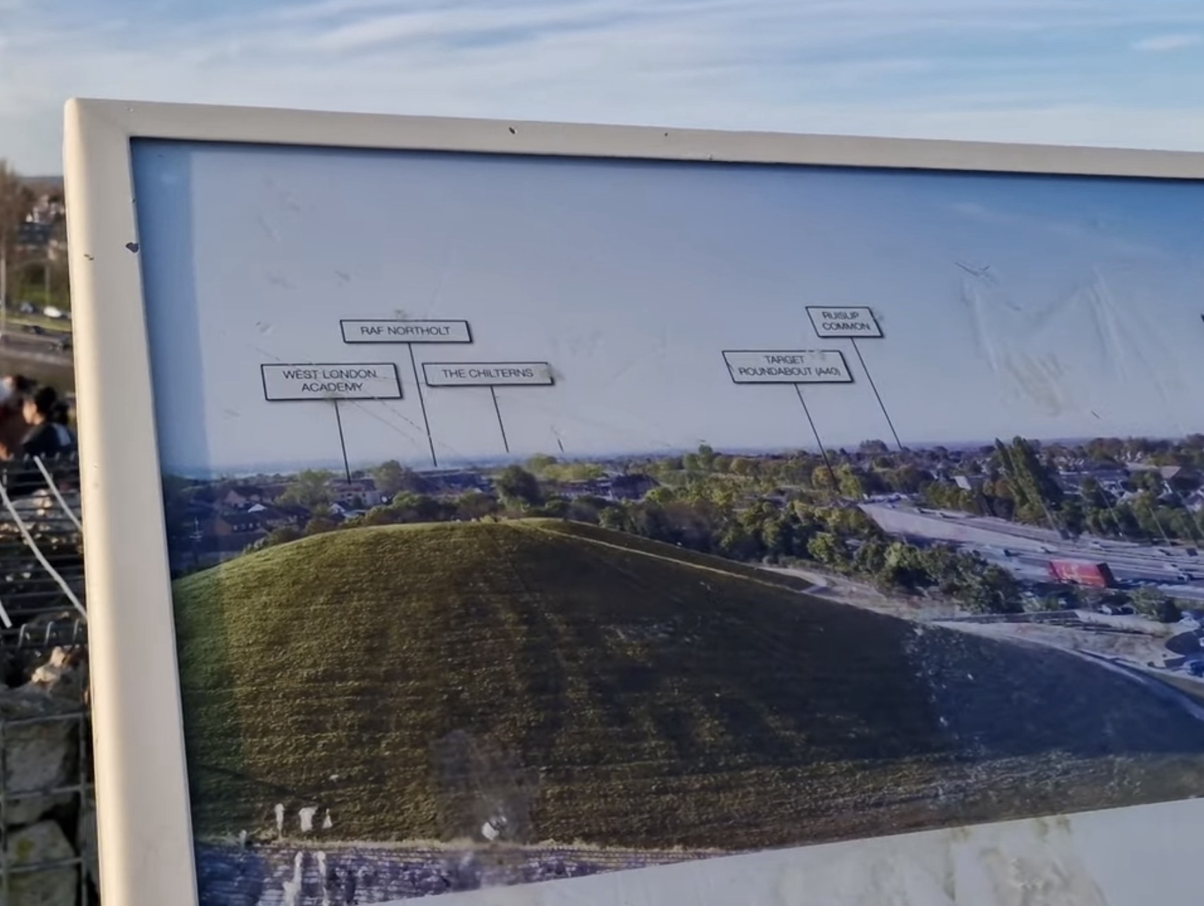

There is a nice symmetry to it. You are standing on the old Wembley Stadium, looking at the new one.
The Playground, the Gym and the Open Grass
On the way back down I came across the children’s play area. There are swings and a few different activities, and it is a good place for families to stop for a while.
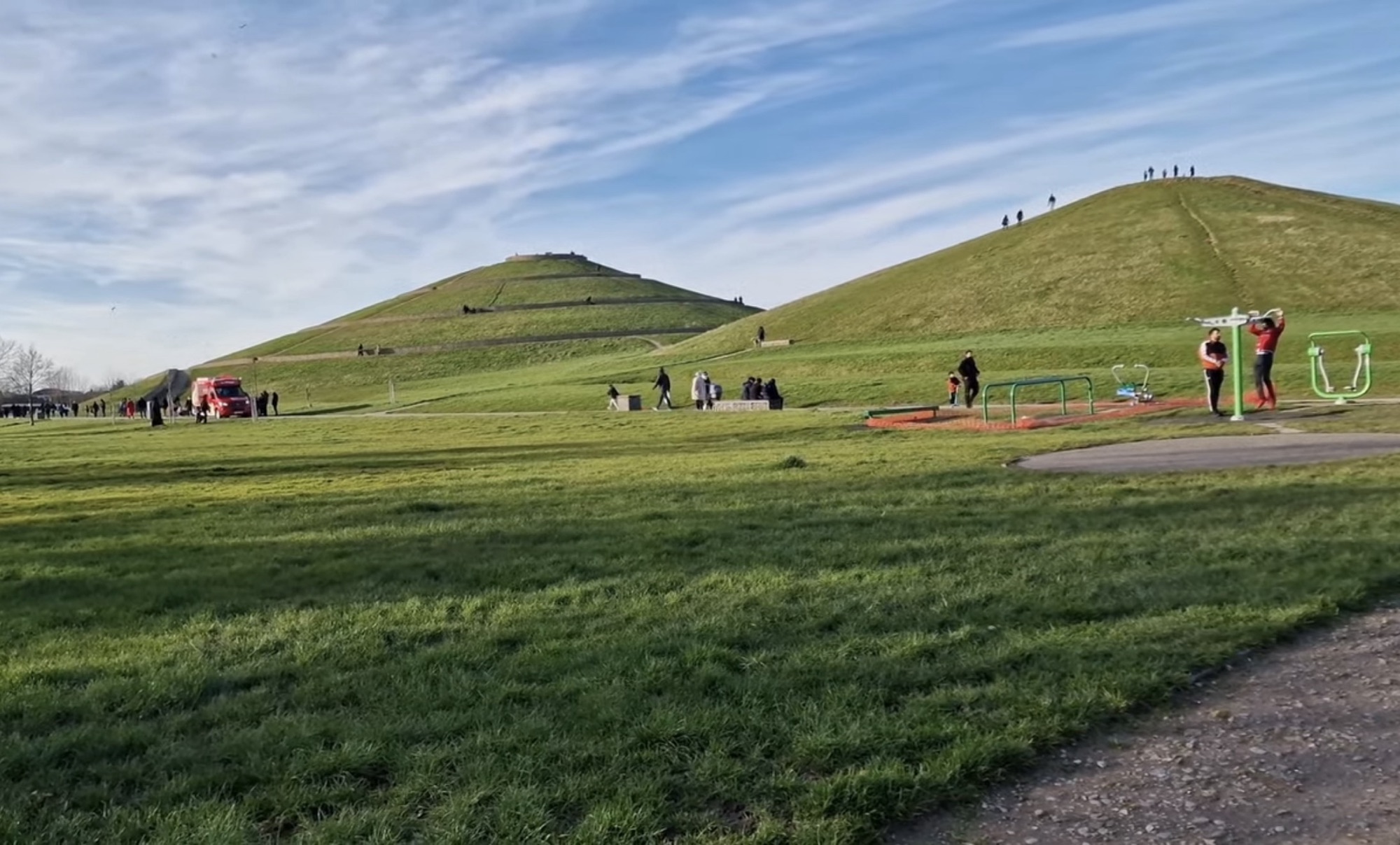
Nearby there is an outdoor gym, and beyond it a huge amount of flat open grass. People were walking, running and using the equipment, and there was still room for everyone.
Lunch on the Grass
I stopped to eat. A lot of people bring their own food and sit out on the grass, and there are plenty of good spots for a picnic. Barbecues are not allowed, so bring food that is ready to eat.
The Fishing Ponds at the Far End
Further down there are more ponds and another good view across the water. I saw someone fishing, and that end of the park felt genuinely peaceful, which is not something you expect a few hundred metres from the A40.
The fishing lakes are managed and you need to pay and follow the rules, so check before turning up with a rod.
How Long You Need
I spent around three hours here and that felt right. If you only want the climb and the view, an hour is enough. If you have children and you are doing the ponds, the playground and a picnic as well, plan for half a day.
Practical Information
My Honest Verdict
It was a really relaxing day out, and I enjoyed coming back after so long. There is plenty of space to walk, good views, ponds, and areas for children.
What makes Northala worth the journey is that there is nothing else like it in London. You are climbing a hill that did not exist twenty years ago, built out of a demolished stadium, and from the top you can name half the skyline off a board. Most parks give you grass and trees. This one gives you a story and a view.
Frequently Asked Questions
Why are there hills at Northala Fields?
The four mounds were built from rubble from the demolished original Wembley Stadium and from the Westfield construction at White City. They act as a noise barrier between the A40 and the rest of the park.
How high is the tallest mound?
About 26 metres. A spiral path and a line of steps both lead to the summit, where there is a beacon and labelled viewpoint panels.
How long does it take to walk to the top?
Roughly 20 to 25 minutes on the spiral path at an easy pace, and considerably less on the steps.
Can you fish at Northala Fields?
Yes, there are managed fishing lakes. You need to pay and follow the club rules, so check in advance rather than turning up with a rod.
Is there a café and toilets?
Yes, both are in the visitor centre beside the lake, including accessible toilets.
Is parking free at Northala Fields?
There are two small car parks at the park. They are limited and fill quickly on sunny weekends, so public transport is the easier option.
How This Guide Was Put Together
Written after a personal visit to Northala Fields on a sunny day in September 2026. All photographs on this page are my own, taken on the day.
The park map and byelaws, the viewpoint panels at the summit, the beacon, the spiral path, the ponds, the playground, the outdoor gym and the log sculptures were all seen and read on site. The landmarks listed in the compass section are taken from the Ealing Council panels at the top of the mound.
The history of the mounds, the 1997 land purchase, the 2008 opening and the height of the tallest mound were checked afterwards against the entrance information board, Ealing Council material and the London Gardens Trust.
Facilities, fishing arrangements and café hours can change, so check with Ealing Council before a long journey.
Last checked: 25 September 2026
Nearby guides: Osterley Park, Gunnersbury Park and Boston Manor Park
Sources
- Ealing Council, Northala Fields park information and on-site entrance board
- Ealing Council viewpoint panels at the summit
- London Gardens Trust, Northala Fields feature
- Northolt and Greenford Countryside Park material
Author

Steve visits every park featured on EKS Parks in person, checking practical details against councils, park operators and official sources. Every guide is based on a personal visit, and the photographs published with it are his own.
About Steve